Active Travel Route - Wattsville - Risca

Share Active Travel Route - Wattsville - Risca on Facebook Share Active Travel Route - Wattsville - Risca on Twitter Share Active Travel Route - Wattsville - Risca on Linkedin Email Active Travel Route - Wattsville - Risca link

Consultation has concluded
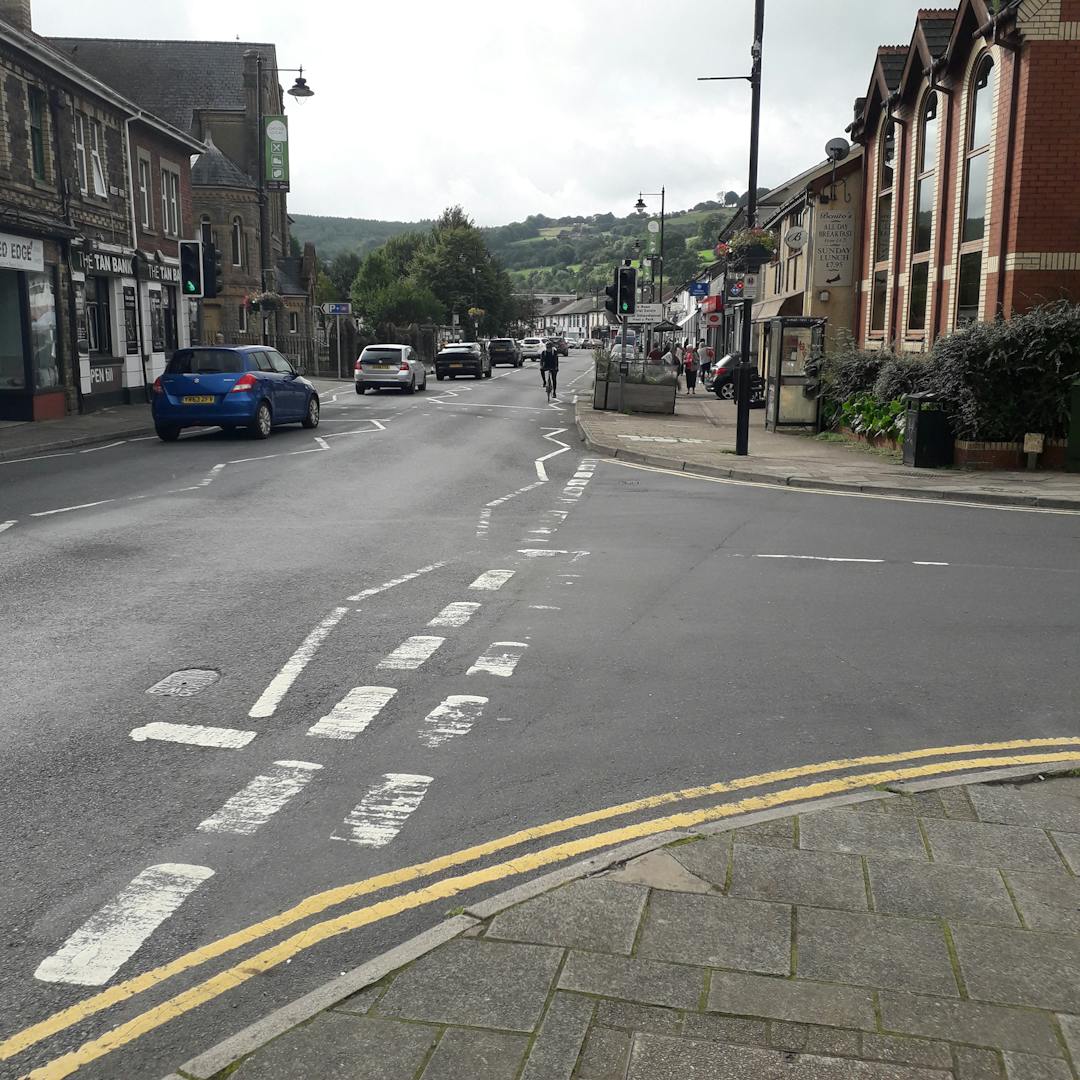
About the project

As part of the delivery of the Council’s approved Active Travel Network Map (ATNM), this project is looking at how a selection of Active Travel routes in the Risca area could be developed and delivered for pedestrians and cyclists, in line with Welsh Government policy that encourages walking and cycling as a preferred travel mode for journeys within short distances.

CCBC are now progressing with the detailed design of route INMC 192 within Risca which is proposed to be a walking and cycling route, approximately 1.25km in length.

The proposals are looking at a range of different ways that the roads can be redesigned to make it easier to walk and cycle around the area including Risca Primary School, retail and food outlets, the Risca and Pontymister train station and Ty Isaf school.

These improvements consider small-scale changes that would make travel easier for pedestrians and cyclists, such as widening footways and including shared use paths.

Why are we consulting

We would like to involve local communities, stakeholders, current and potential active travel users in the design process. This ensures that local user needs and knowledge are captured during development of the design proposals.

It is important to capture all of the pros and cons of the design options and better understand the needs and aspirations of the local community to improve their sustainable travel choices. The aim is to improve the area for the local community, and we would be very keen to know your opinion on the options and whether you have any issues we need to consider, or better options you wish to propose. We will use your feedback to develop our design further.

Route description

There are two options identified within the route of which Option 1 goes through Tredegar Park and Option 2 utilises Park Road. The route begins on Dan Y Graig Road outside of Risca Primary School to the west, crossing the B4591, heading around / or through Tredegar Park to travel down Park Road. The route follows the existing path adjacent to the train station car park linking with Ty Isaf Infant School and connects B4591 Newport Road by widening the existing path through the rugby club to a 3m wide shared facility. The route is envisaged to provide benefits to users in and around the area.

Development of active travel options

We have looked at numerous design ideas that would help to make the route better for pedestrians and cyclists, from which we have put together two options for route INMC 192 to prompt discussion.

We aim to establish a preferred design and take this forward to more detailed consideration so that we can put together a case for funding.

The preferred design will provide a continuous route that may include elements of either or both proposed options, that will meet the needs of the local community.

Both options 1 and 2 are very similar and have the same starting and ending point, with the only difference being that active travel users will either go through or around Tredegar Park. A range of enhancements have been proposed for the route to improve journey quality for active travel users. Where road space can be reasonably re-assigned, shared use paths and wider footways have been considered. In contrast, consideration has also been given towards shared use footways, on-road cycle lanes with less segregation or advisory cycle lanes only. In some instances where traffic flows and vehicle speeds are sufficiently low, Quiet Street status has been proposed requiring minimal intervention.

Between Risca Primary and Tredegar Park the footpath is proposed to be widened to 2.625m for a shared use pedestrian and cycle track with a toucan crossing at the Dan y Graig Road/ Tredegar Street. The shared path is proposed along Park Road with a simple uncontrolled crossing at four locations along the road. Parking along Park Road will be retained.

Option 2 goes through Tredegar Park and joins at Park Road where it merges with Option 1. The remainder of Option 1 and 2 are the same until the route reaches the train station.

Ways to give your views

To comment on the proposals, please complete the online survey. You may also print a copy of the survey for completion.

A copy of the plans and survey are available at Risca library and any completed paper surveys may be returned to your library or in the post to: Caerphilly County Borough Council, Infrastructure Division (Engineering Admin), Ty Penallta, Tredomen Park, Ystrad Mynach, Hengoed. CF82 7PG.

Expected outcomes

Feedback will be considered as part of the design process to develop the detailed designs that will be consulted upon separately.

The outcomes of the consultation will be available within two weeks of the last date of the consultation.